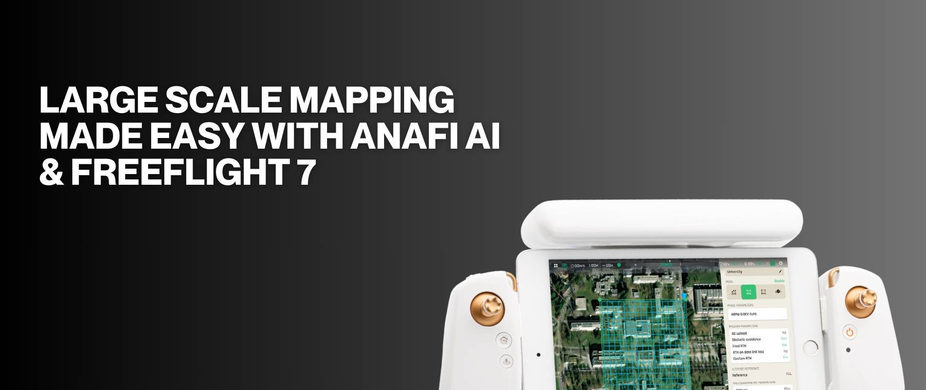
The Parrot ANAFI Ai and FreeFlight 7 makes large scale mapping & inspection easier with embedded photogrammetry missions and allows users to create accurate and high quality 2D maps or 3D models.
The 4G connectivity prevents signal loss with the drone even when flying in interference-rich areas.
