earth

Improve your navigation

Fusion 4K + Thermal

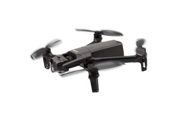
To balance the resolutions of the thermal image and visible image, and therefore benefit from information not visible in thermal, the displayed image is a fusion of the information from the two cameras.


Stabilised on three axes, the optical unit of ANAFI Thermal combines an infra-red sensor to the electro-optics, making it possible to identify temperatures between -10° and +400°. Thanks to the FLIR Lepton 3.5 module, it is possible to set the absolute temperature of each pixel.

Colourisation

In order to simplify the missions, to focus on its target and increase precision, temperature ranges can be defined to isolate the subjects of interest (e.g.: water leak, heat leak, etc.)


To refine the search for elements after the mission, the colour palettes of a video can be re-edited from the flight app, without having to download it.

Radiometry

Thanks to the FLIR Lepton 3.5 radiometric sensor, the maximum and minimum temperature of the observed scene can be determined. A specific point can be selected on the screen in order to find the exact temperature, making it possible to obtain precise and detailed data.

Assisted Flying

From the FreeFlight 6 app, different control modes can be configured. There is also the FlightPlan mode, allowing you to define a flight plan from a map, as well as specific points of interest and the orientation of the camera. The app automatically calculates the time that will be required to conduct the mission.


Thanks to the camera's ability to orient itself 90° upwards, the underside of structures can be inspected and 360° panorama photos of the scene can be taken.

2D mapping

From the Pix4Dcapture app, the 2D Mapping function can be accessed. After collecting aerial shots of the observed area, the images are "stitched", assembled, to obtain a 2D view of the terrain.


This function can be performed offline, without an internet connection: a nomad solution adapted to outdoor missions.


This tool is particularly useful for research missions, to identify points of interest on the map and send ANAFI Thermal for closure.

Compatible software

Logo pix4Dcapture

Pix4Dcapture

Schedule your flights to collect relevant images. Learn more

Logo pix4Dmapper

Pix4Dmapper

Visualize your environment in three dimensions. Learn more

Logo pix4Dreact

Pix4Dreact

Use your data to derive terrain models. Learn more

Logo Flir Tools

FLIR Tools

Automatically carry out analyses of your thermal photos. Learn more

Logo FreeFlight 6

FreeFlight 6 app

Plan your missions and access all the features of ANAFI Thermal. Learn more

Discover the new professional thermal drone

ANAFI USA, a thermal drone manufactured in the U.S.

ANAFI USA is a powerful American made drone built to meet the demands of first responders, firefighters, search-and-rescue teams, security agencies, surveying and inspection professionals.