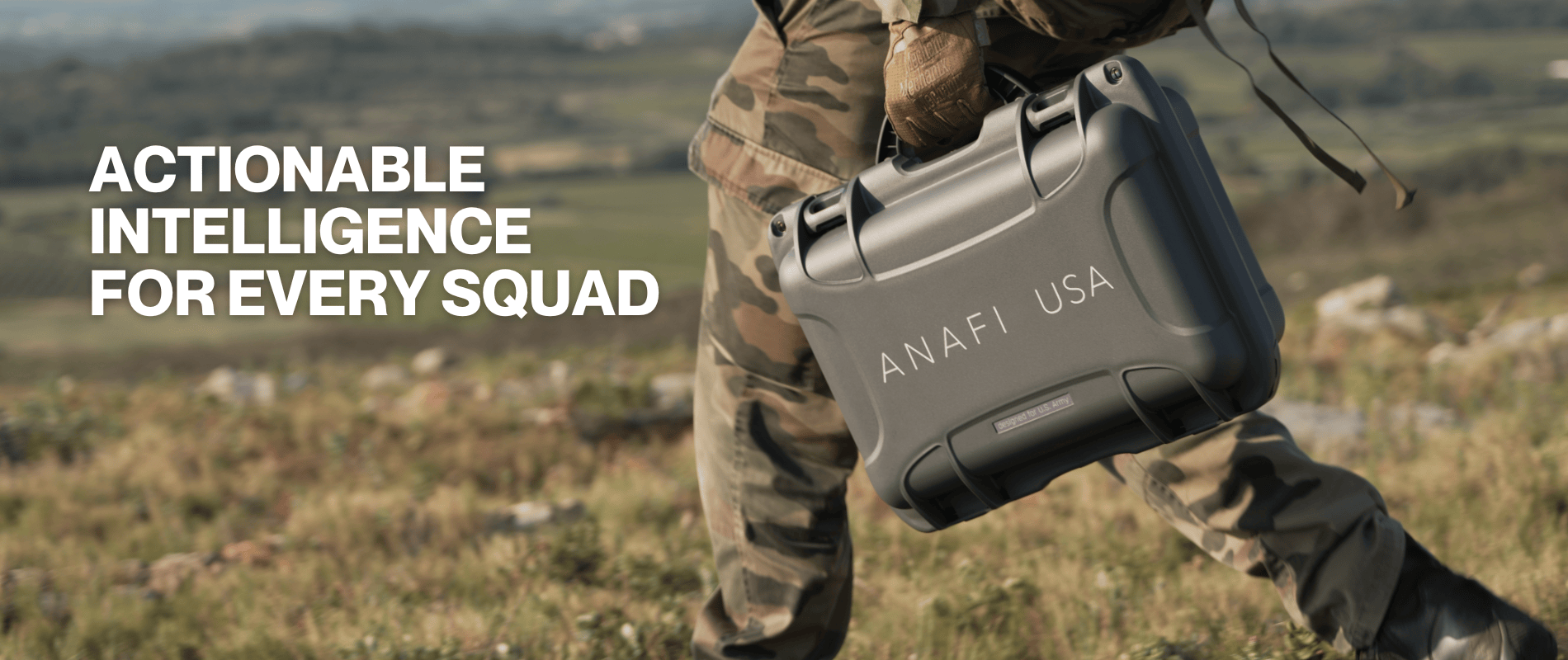
FARSIGHT software edge processes imagery gathered by ANAFI USA to provide ground operators with detailed maps and 3D modeling, which can be instantly pushed into ATAK.
AI-processed intelligence and analytics help squads situational awareness, choose the safest path to a target area and even identify the best aircraft landing zone.
FARSIGHT by REVEAL: Actionable Intelligence for every squad
Partnerships
18/01/2024
